


So, what does a poor DIY adventure minded Canadian fishermen do in this instance? He looks for a way to the northern central channel to get to the wide open bonefishing flats, with lovely tide flow past the peninsula. The island at it's narrowest is a little more then 1/4 kilometer across. The problem is that the road stops about 6 k before the narrow part of the island. No one had written about this trek, other DIYers wondered about it but had never done it. The fishing was not so good this last week so I said to myself, what the heck, lets give it a shot.
A tourist aerial pic of my desired destination on the internet.
 [/url]
The road for about the last 2k is all sand with some rock.

At the end of the road. Now it was time for the 6k one way walk.

I had asked about crossing this section on another message board. Someone directed me to this website. Notice the crocodile on pic 3?
http://babelfish.altavista.com/tr?lp=fr ... highlight=
All was going well on the day I went. I was hiking along the desolate beach of the south side by 9 am. I had a good pace once I was on my way but there were two problems. Number one, I didn't look for a marker of some sort when I entered the beach. The beach goes on for for about 13 k and for the most part, it looks the same. How would I know where to exit the beach on my return? Doh!!:oops: The second problem was that the beach was edged by a wall of old coral deposits. One couldn't look over the them to get your bearings. But as luck would have it, my first climb on top of the "wall" gave me this vista. The north shore is visible on the top left side of the picture.

I picked a tree in the distance where I thought it was about the narrowest section of the island and headed back down to the beach and on I marched. I was looking for interconnecting ponds. This would tell me that I was at the right spot. When I did go up on the ridge again, I came across a lone individual small pond so I headed back to the beach and headed east and found this pond.
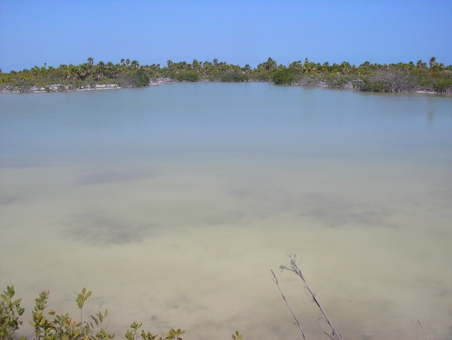
There was a large fish sunning himself 5 ft in front of me. Time to to pull out the gear and threw a top water into the deeper water, I’d try to attract that sunbather as I worked her back to shore. Splash, twitch, pause, twitch, gurgle, spit and then I sped it up a little with a constant movement. On a gurgle, the whole lure got swallowed and I never even got to see any part of the fish surface. The reel screamed a little, then it was time to work back the line when the reel was silent. We did this for a few minutes and I started to make ground on the fish. I was using the full 81/2 ft of the rod leveraged against my thigh to muscle her in. Then she started pulling to the right as she got closer to shore. Ohhh...nooo...I pulled in the opposite direction with all my weight but the fish had sighted the mangrove roots and she just peeled line till she was there. As soon as she hit the root she was free.
The dreaded Mangrove root.

I tried a number of other lures but nothing else worked. My best topwater was gone. On I went to the east wondering if I had found the connecting ponds.
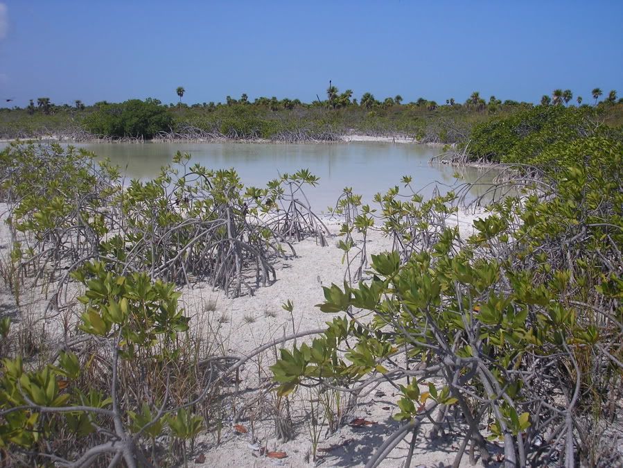
A view of another pond.
The overhead sun beat down hard on me. I tried fishing several other ponds but never got another hit. It was too hot and water was running low. Time to head home. I did find my out by talking to the only other life on the beach. Cayo Largo is a known nudest island. Nudists like to feel like they can be nude all alone on a deserted part of the planet. Wonder what they thought when they saw me marching from 5k up the beach fully clothed? I was to burnt from previous days fishing to hike nude.
From several vantage points I never saw a clear way to the north side of the island so I headed home. I’d only do that one in the future with a GPS. Dec or Jan would be a good time to go, when the temperature is much cooler.


